
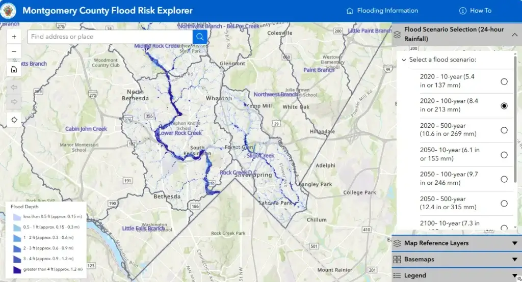
Montgomery County has expanded its Flood Risk Explorer interactive mapping tool to include the Middle Rock Creek and Lower Rock Creek watersheds, adding to the Sligo Creek watershed that was mapped when the program launched in December.
The tool helps residents identify areas that face increased flooding risks during major storms under current and future climate conditions.
County officials said the expansion comes as hurricane season begins and is intended to help residents better prepare for severe weather. The Flood Risk Explorer is part of the County’s Comprehensive Flood Management Plan and complements other flood-prevention efforts, including flood sensors, emergency alerts, and storm response operations. Residents are encouraged to review their flood risk, sign up for Alert Montgomery, and avoid driving through flooded roadways.
