
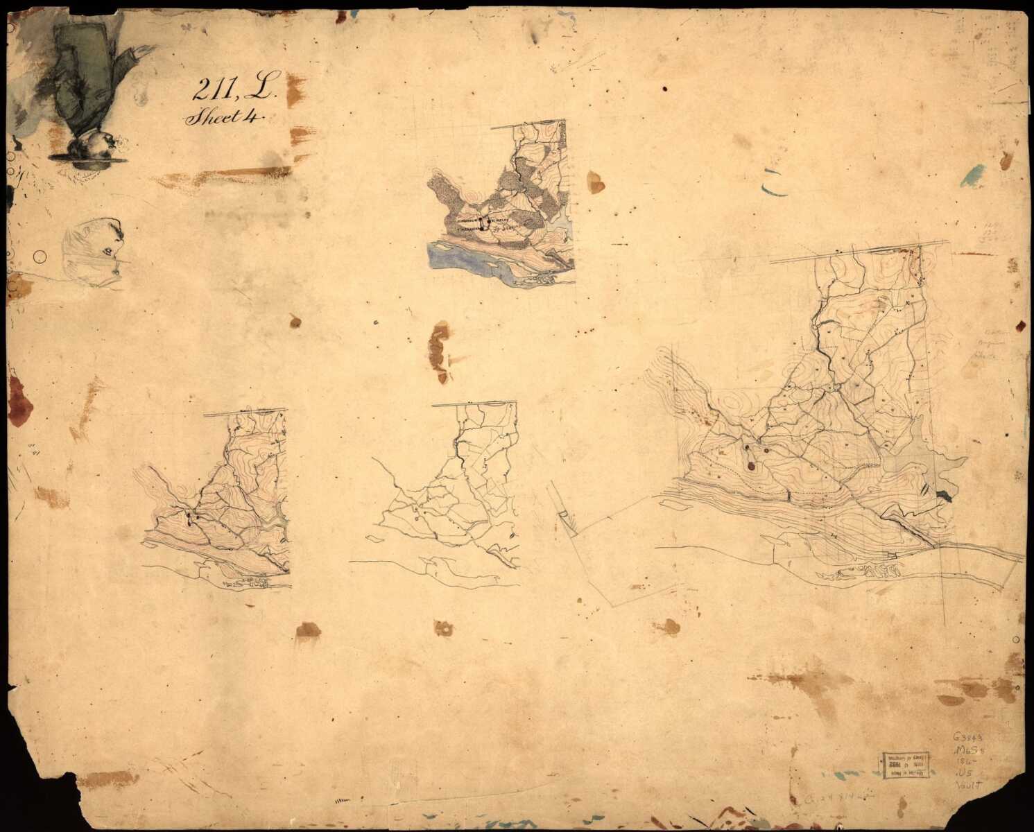
How much do you know about Montgomery County’s forts?
This map covers the surrounding area of forts Alexander, Franklin, and Ripley, each built within a few miles of Washington D.C. near Glen Echo. Fort Sumner can be seen scribbled on the map in ink. It was connected to the other three forts by trenches. The forts were built as part of D.C.’s defenses during the Civil War. The illustration was created by the United States Army Corps of Engineers.
The entire image depicts the same map at various points of completion. Landmarks such as roads, and bodies of water can be spotted on the finished version of the map. The colored body of water is the Potomac River.
Many forts in Montgomery County were not preserved and some were destroyed for residential development in the 1950s.
Photo courtesy of the Library of Congress.
By Amy Lusignan
Recent Stories

Shuga x Ice, described as “a unique, African-inspired ice cream company” is coming soon to Solaire Social– a food hall opening soon on the ground floor of the Solaire 8200…

Montgomery College will hold a ribbon cutting ceremony on Friday, April 26 at 9am for its High-Tech Manufacturing Facility at 19710 Observation Dr. in Germantown.
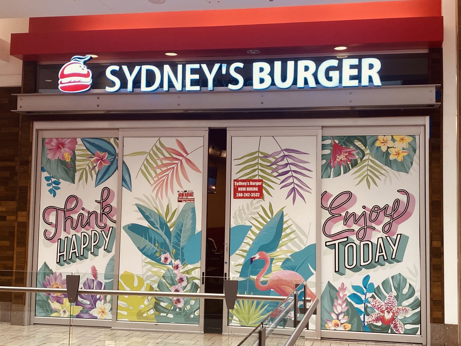
Sydney’s Burger at Westfield Wheaton Mall (11160 Veirs Mill Rd) has closed.
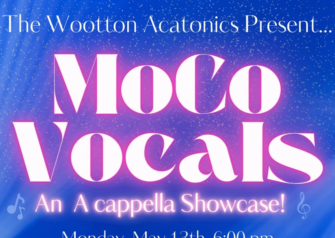
Wootton High School is hosting an Acappella Showcase featuring seven acappella groups from five different schools. The event will take place on May 13th from 6 pm-8 pm at Wootton…
FEST OF SPRING Caribbean Wine Food & Music Festival

Get ready to experience the vibrant colors, tantalizing flavors, and infectious rhythms of the Caribbean at the FEST OF SPRING Caribbean Wine Food & Music Festival! Hosted by RHU LLC, this exciting festival is set to take place on May 18, 2024, at the picturesque 16700 Barnesville Rd in Boyds, MD.
Step into a world where the Caribbean spirit comes alive! From 12:00 PM onwards, immerse yourself in a sensory journey that celebrates the unique culture, cuisine, and music of the Caribbean. Whether you're an African American, a Reggae or Soca music enthusiast, a wine lover, or part of the vibrant Caribbean diaspora, this festival promises to delight and captivate you in every way.
Let the enticing aromas of mouthwatering Caribbean dishes tantalize your taste buds. Feast on traditional delicacies prepared by expert chefs, showcasing the rich and diverse culinary heritage of the Caribbean. Indulge in flavorful jerk chicken, succulent seafood, and delectable plantain dishes that will transport you straight to the islands.
Accompanying the culinary extravaganza is a carefully curated selection of premium wines, ensuring the perfect pairing for your palate. Sip on fine wines from renowned vineyards, each sip a reflection of the Caribbean's vibrant spirit. Discover new flavors, expand your wine knowledge, and savor unforgettable moments with every glass.
As the sun sets, get ready to groove to the infectious rhythms of Caribbean music. Feel the pulsating beats of reggae, soca, dancehall, and calypso, moving your body to the lively melodies. Live performances by talented musicians and performers will keep the energy high, ensuring a night of unforgettable entertainment.
Don't miss this opportunity to embrace the Caribbean spirit and celebrate the arrival of spring in style! Tickets are available on AllEvents, so secure your spot today. Join us at the FEST OF SPRING Caribbean Wine Food & Music Festival, where cultures collide and unforgettable memories are made.
LIVE PERFORMANCES By: CULTURE Feat. Kenyatta Hill, EXCO LEVI, IMAGE BAND, RAS LIDJ REGG'GO with Special Guest SUGAR BEAR FROM E.U. & MORE! & MORE!
MUSIC By: DJ ABLAZE, DJ SMALLY & NAJ SUPREME
2 NIGHT Camping packages available: RV/CAMPER $200 | TENTS $150 Starting on Friday May 17 @ 5pm | 30 RV SPACES | 30+ TENT SPACES
KIDS 12 & UNDER FREE!!!