
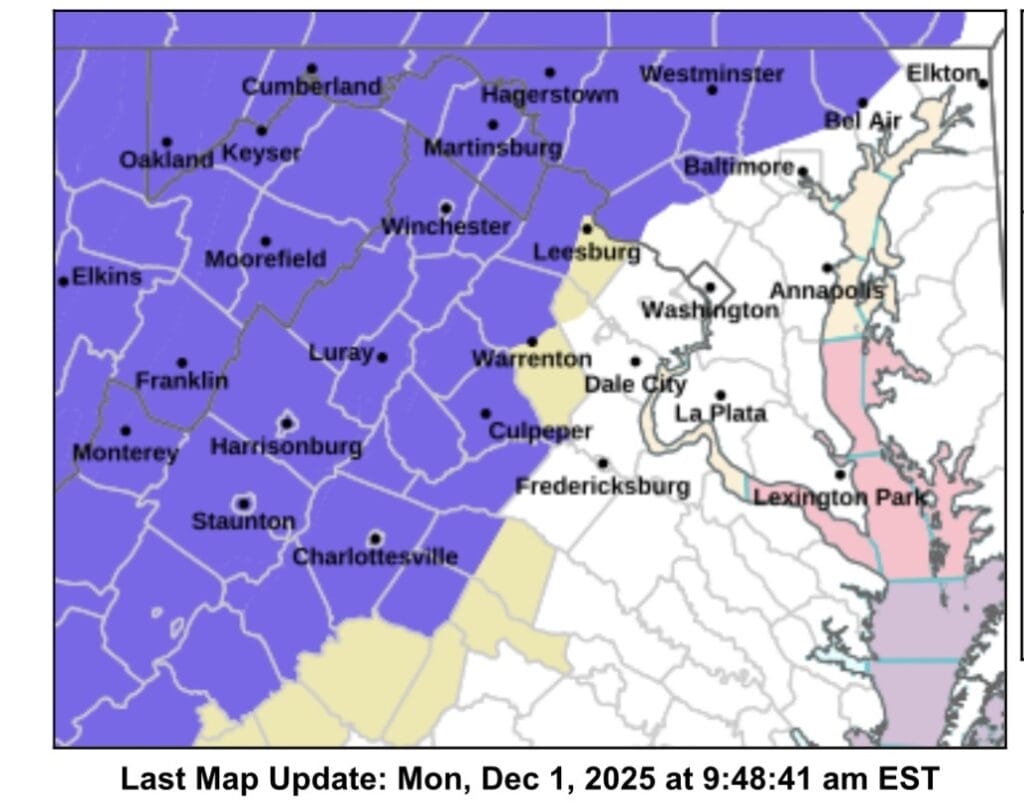
A Winter Weather Advisory has now been expanded to include northwest Montgomery County, as the region prepares for the first widespread winter event of the season. The advisory is in effect from 3am to 1pm Tuesday, according to the National Weather Service (NWS).
NWS Forecasters say precipitation will develop after midnight, spreading from southwest to northeast. While the system is expected to begin as snow across the area, a transition to sleet and freezing rain is likely for most locations as temperatures rise through the morning. Areas along and south of US-50 and I-66 are expected to end the event as rain, while regions near the Mason-Dixon Line have the best chance of remaining all snow, though that remains uncertain.
The inclusion of northwest Montgomery County areas such as Germantown, Clarksburg, Damascus, and Poolesville are now under the advisory, where mixed precipitation could lead to slippery conditions during the Tuesday morning commute.
According to the NWS, 1 to 2 inches of snow and sleet are expected across the advisory area, with locally higher totals up to 4 inches possible near the Mason-Dixon Line and elevated terrain such as Parr’s Ridge. Up to one-tenth of an inch of ice may also accumulate, particularly where freezing rain persists.
Drivers are urged to use caution, as roads could become slick before sunrise and remain hazardous through the morning. The NWS notes that if precipitation remains all snow for a longer period of time, higher accumulation totals would be possible.
Forecasters emphasize that updates to the storm track and precipitation type are likely as the system approaches. Residents are encouraged to stay weather-aware as the first measurable winter event of the season moves in.
