
The National Weather Service (NWS) has issued a Winter Weather Advisory for portions of north-central and northern Maryland, as well as parts of the West Virginia Panhandle and Northern Virginia. As of now, Montgomery County is not included, but forecasters note that adjustments to the advisory area remain possible as the storm approaches.
The system is expected to bring the first widespread winter event of the season, with precipitation moving in after midnight from southwest to northeast. While the storm is likely to begin as snow in most places, many areas will see a transition to sleet and freezing rain before daybreak. Many areas in the immediate DC Metro area will likely see a changeover to rain.
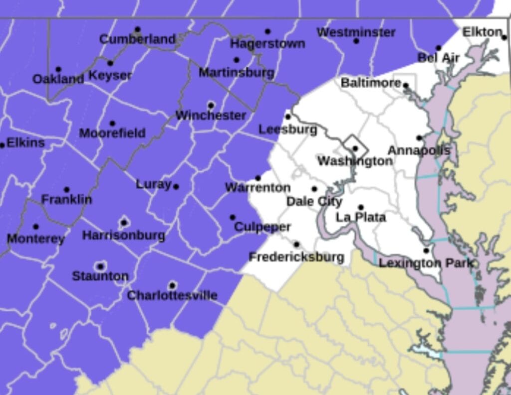
The following areas are included in the Advisory: Washington, Frederick, Carroll, Northern Baltimore, Northwest Harford, and portions of Morgan, Berkeley, and Jefferson counties.
Advisory Details:
• Timing: 3 a.m. to 1 p.m. Tuesday
• Expected Snow/Sleet: 1 to 2 inches, with up to 4 inches possible near the Mason-Dixon line and higher elevations such as Parr’s Ridge
• Ice Accumulation: Up to one-tenth of an inch
• Impacts: Slippery roads and potentially hazardous conditions during the Tuesday morning commute
The NWS notes that areas along and south of US-50/I-66 may end the event as plain rain, while locations closer to the Mason-Dixon line may stay all snow. A longer period of snow could lead to locally higher totals.
Residents are encouraged to monitor forecasts as overnight updates may shift advisory areas or expected precipitation types. Travelers should use caution and allow extra time on Tuesday morning.
