
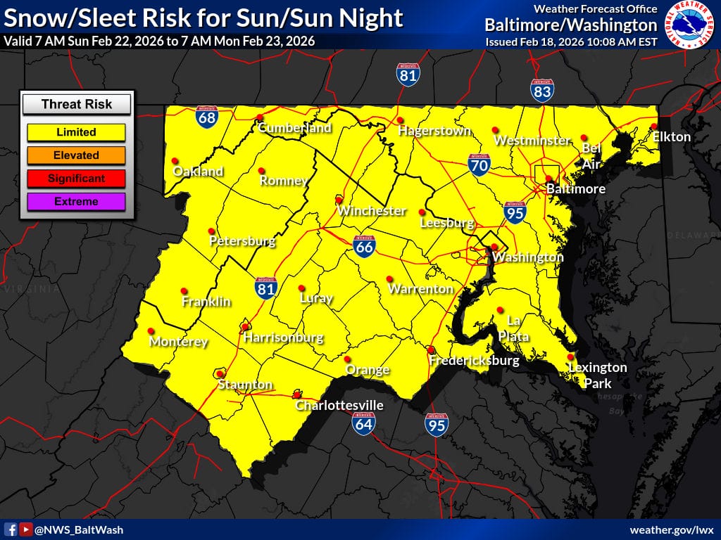
Maryland and Northern Virginia are currently in the National Weather Service’s (NWS)“limited threat risk” zone for a potential winter storm this weekend, with forecast confidence still low.
The Canadian model suggests a roughly 40-50% chance of more than three inches of snow across much of Maryland, while the European model is notably less aggressive, showing about a 10-30% chance. While the Euro is generally considered more reliable, this winter has been challenging for nearly all weather models, adding to the uncertainty.
The NWS “Forecaster’s Discussion” says a wide range of outcomes remains possible, depending on the strength, track, and timing of the developing low-pressure system. Current projections show precipitation beginning as rain Saturday night into Sunday morning, with snow mixing in overnight.
Marginal temperatures on Sunday could keep precipitation as a rain-snow mix through much of the day before turning primarily to snow Sunday night as temperatures fall. Confidence in accumulating snow remains highest in the Alleghenies, where colder conditions are more favorable, though guidance continues to show some potential for accumulation farther east.
There has been a slight increase in the probability of minor impacts. While travel disruptions are possible if the threat materializes, forecasters stress the system is still several days out and could change significantly.
