
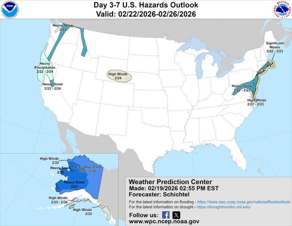
The National Weather Service Weather Prediction Center has expanded its “Heavy Snow Threat” area to include most of Maryland, signaling growing concern about the potential for impactful winter weather late this weekend into early next week.
The updated Day 3 to 7 hazards outlook highlights a higher confidence in storm development along the East Coast, but forecasters stress that confidence in exact impacts remains low. Small shifts in storm track and timing could make the difference between minimal snowfall, a modest event, or a more significant winter storm for the region.
That uncertainty is echoed in the latest National Weather Service Baltimore Washington forecaster’s discussion, which notes that the latest round of model guidance did little to clarify the forecast. Snow probabilities have diverged further, with some ensemble models increasing snowfall chances while others have trended lower. Forecasters say those opposing trends may ultimately cancel each other out in the blended guidance, at least in the short term.
NWS meteorologists outlined three main scenarios still in play. In one, upper level features phase too late, keeping the developing low well offshore and limiting snow locally. In another, an inverted trough on the backside of the storm could bring snow mainly to eastern portions of the region. The third and highest impact scenario would involve the low developing closer to shore and strengthening along the Delmarva Peninsula, which would result in the most snow for Maryland and surrounding areas.
Forecasters emphasized that all of these outcomes depend on a complex set of variables aligning at just the right time and location. The difference could range from a few weak waves with little impact, to a period of snow showers, to a more substantial wintry precipitation event.
At this stage, the forecast remains firmly in a “wait and see” phase. Residents are encouraged to take basic precautions now in case the higher impact scenario materializes, noting that having a preparedness kit ready is always a good idea regardless of the final outcome.
While uncertainty remains for central and eastern Maryland, confidence is higher that the mountains will see another round of upslope snow. Advisory level accumulations appear increasingly likely along and west of the Allegheny Front through the Sunday into Monday timeframe, though exact totals will still depend on the storm’s eventual track.
