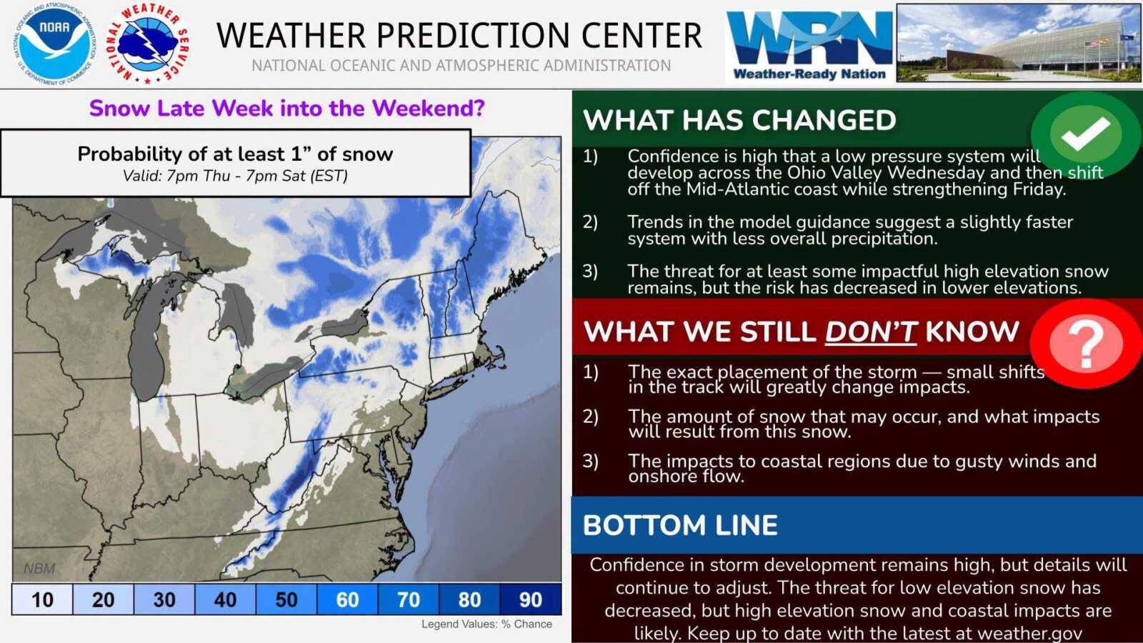
The National Weather Service’s Weather Prediction Center has issued an updated outlook (released Monday, Nov. 9th) for a storm system expected to develop later this week, with the latest guidance showing a decreasing threat of snow for lower-elevation areas, including D.C., most of Maryland, and Northern Virginia.
According to the update, confidence remains high that a low-pressure system will develop across the Ohio Valley on Wednesday before moving toward the Mid-Atlantic coast and strengthening on Friday. However, recent forecast models suggest the storm could move slightly faster and produce less precipitation than previously anticipated.
The Weather Prediction Center says the threat of impactful snowfall remains for higher elevations, particularly in mountainous areas, while the likelihood of snow in lower elevations has decreased.
Several uncertainties remain, including the storm’s exact track, potential snowfall amounts (for high elevation areas), and the possibility of coastal impacts from gusty winds and onshore flow. Even relatively small changes in the storm’s path could significantly affect conditions across the region.
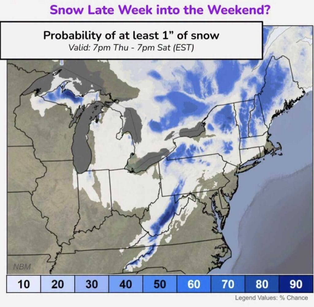
The outlook covers the period from 7pm Thursday through 7pm Saturday. While confidence in the storm’s development remains high, forecasters emphasize the threat of snow in lower elevation areas has decreased.