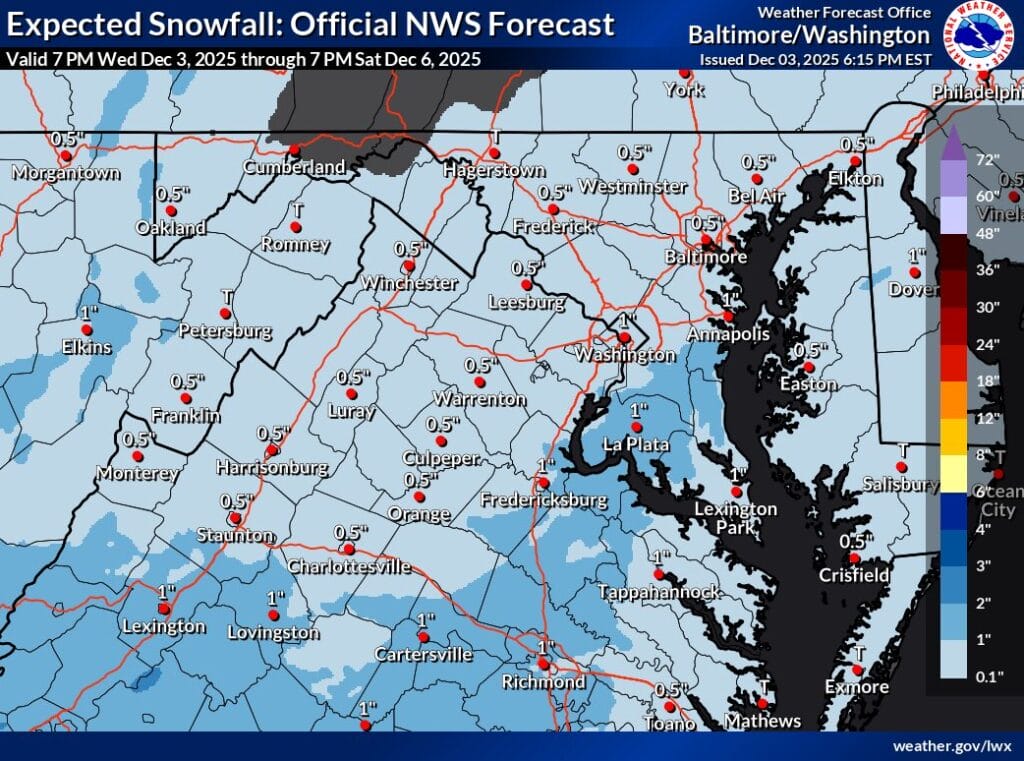
A light snow event is expected to move into the region on Friday, with the potential to begin by mid-morning and continue through the evening. Temperatures will be cold enough for any snow that falls to accumulate, and while this is not expected to be a major storm, it could bring the first inch of snow of the season to parts of the area.
Recent model trends have shifted slightly. The GFS, which previously kept the system south of the region, has moved the northern edge of the storm closer to the District, showing nearly an inch of snow in Gaithersburg and Washington.
The Euro AI model brings the system farther north, suggesting around an inch and a half in Washington and Laurel, with just over an inch possible in Germantown and into Loudoun County in Virginia. With cold surface temperatures in place, accumulation would not be difficult if the storm tracks far enough north.
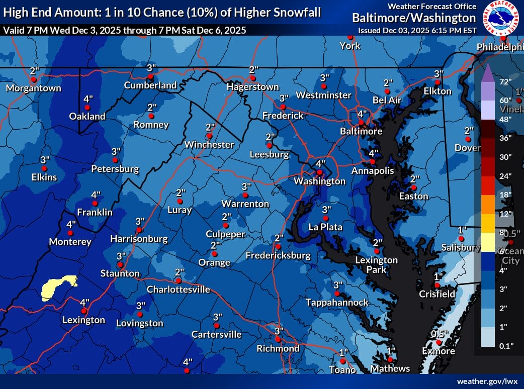
A “High End Amount” map by the National Weather Service, representing a 10 percent scenario, shows a possibility of up to four inches in Washington. That outcome would require a more significant northward shift, which is not the most likely scenario but remains possible. It is equally possible for the storm to drift south again, resulting in flurries, a light dusting, or no meaningful snowfall locally.
We will continue to monitor the forecast and share updates as they come in.