
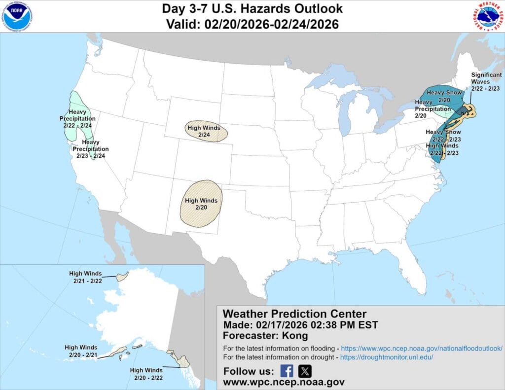
Parts of Maryland just east of Montgomery County were included in the National Weather Service Prediction Center’s “heavy snow” hazard outlook for February 22 and 23, Sunday into Monday. Overnight forecast models have since trended weaker, pushing the potential storm farther out to sea, but forecasters say it remains something to watch.
FOX5 meteorologist Mike Thomas previously noted that the next couple of days are key for determining how the system evolves. If the overnight model trend holds and the wave remains flatter and weaker, the storm would pass harmlessly to the south with little to no snow or wintry precipitation for our area.
In its latest ‘forecaster’s discussion’, the National Weather Service says recent upper-level trends have slightly increased the chance of a system developing Sunday, with more Atlantic blocking and offshore ridging allowing for greater amplification. Some models are hinting at a potentially stronger storm, though just as many ensemble members continue to show a weaker, suppressed system tracking out to sea.
Forecasters note that moisture appears plentiful, but the main uncertainty remains how much cold air will be available. A stronger storm would be needed to pull enough cold air into the system to produce impactful snow outside of mountainous terrain. Even if a storm does develop, rain could mix in for areas outside the mountains.
To illustrate the uncertainty, the European ensemble’s 50th percentile snowfall projection currently shows a coating to one inch for most locations, with several inches possible in the Alleghenies. The 90th percentile scenario shows a much more significant outcome, with 10 to 15 inches of snow. While the storm could become impactful, forecasters caution it could also end up being a complete miss.
Regardless of how the precipitation forecast plays out, model guidance is in general agreement that colder air will follow. Early next week could trend significantly colder, with daytime highs dropping into the 20s across much of the region.
