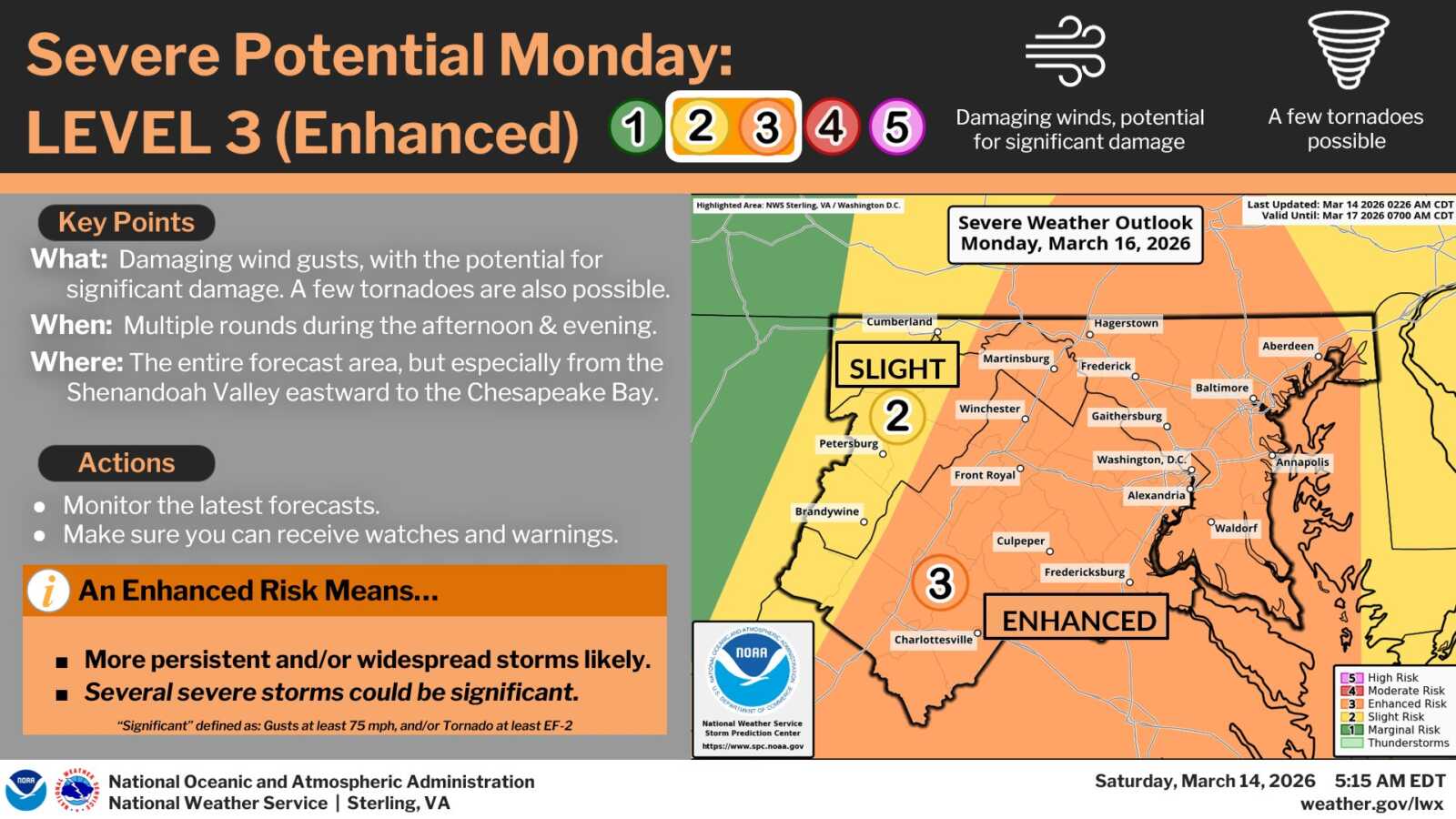
The National Weather Service is warning that severe weather is likely to impact the region Monday, March 16, as a strong cold front moves through the area.
Forecasters say the system could bring damaging wind gusts capable of causing significant damage, along with the possibility of a few tornadoes. According to the National Weather Service, multiple rounds of storms are possible during the afternoon and evening, with the highest risk stretching from the Shenandoah Valley eastward toward the Chesapeake Bay.
The Storm Prediction Center currently places much of the region in a Level 3 out of 5 “Enhanced Risk” for severe weather. That designation means more persistent or widespread storms are likely, and several storms could become significant, including wind gusts of at least 75 mph or tornadoes rated EF-2 or stronger.
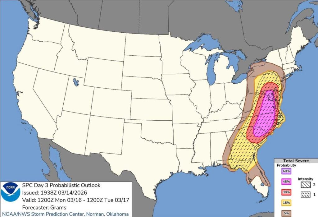
FOX5 meteorologist Mike Thomas noted that forecasters are even considering upgrading the region to a Level 4 out of 5 “Moderate Risk,” which is issued only rarely for the area.
“In their latest discussion, SPC is considering upgrading our region to a level 4 of 5 MODERATE RISK for severe weather on Monday,” Thomas said. “We have only had a handful of these issued for our region as far back as records go. Really speaks to the magnitude of how concerned they are about wind damage potential here Monday.”
Residents are encouraged to monitor the latest forecasts and make sure they can receive weather watches and warnings as conditions develop Monday afternoon and evening. After the potential severe weather passes, temperatures are expected to drop significantly. Highs on Tuesday and Wednesday may only reach the upper 30s to lower 40s.