

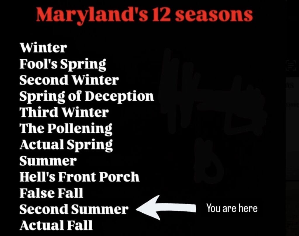
The calendar is about to turn to October, but Montgomery County and the surrounding region could still get one more taste of summer, with temperatures potentially approaching 90 degrees later this week.
NBC4 meteorologist Doug Kammerer said much warmer weather will move into the region over the next several days, with temperatures climbing by 10 degrees or more compared with earlier this week.
“Much nicer and much warmer weather is moving in over the next few days,” Kammerer said. He added that rain chances remain in the forecast for the weekend, though the latest projections are showing the potential for less rain than previously expected.
The National Weather Service is also forecasting a significant warmup as upper-level ridging builds over the region and surface high pressure remains in place through Thursday. Dry conditions are expected through the end of the workweek, with temperatures climbing each day.
Highs are expected to reach the upper 70s to lower 80s Wednesday before climbing further Thursday. By Friday, the National Weather Service says portions of the region could reach near 90 degrees. The current point forecast for Washington calls for a high around 87 degrees Friday, with some locations potentially running a few degrees warmer.
If temperatures do reach 90 somewhere in the area, it could provide one final 90-degree day as the region heads into October. While warm days can certainly occur later in the fall, temperatures are expected to drop considerably behind an approaching cold front.
That front is expected to approach from the northwest Friday, potentially bringing showers or a thunderstorm later Friday or Friday night. The better chance for rain currently appears to arrive over the weekend. The National Weather Service forecast has temperatures dropping into the 70s Saturday and around 70 by Sunday.
For now, the next few days should feel increasingly summerlike before the potential weekend change.
