Susan Soderberg is the president of the Germantown Historical Society
|
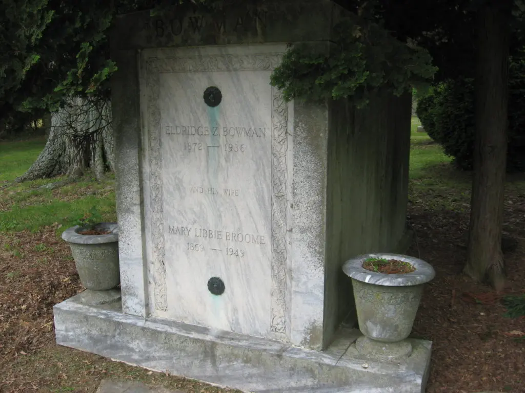
Today we call all places where people are buried cemeteries, but it is actually a fairly recent term that first appeared in America in the 1830s with the first corporate Memorial Parks. Before that there were burial grounds—municipal burial grounds, churchyard burial grounds and family burial grounds. Burial grounds are sacred places. They mark where our ancestors lie, commemorate the special, and memorialize the unique, but they are also primary sources that can tell us about birth and death dates, where a person lived, who was related to whom, and social customs surrounding death and burial.
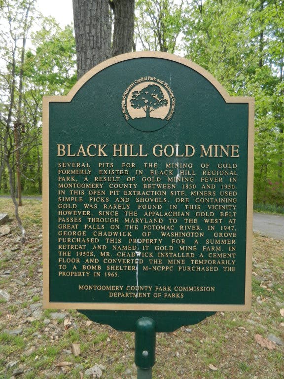
In the 18th and 19th centuries, when Montgomery County was still frontier or at least very rural, people died they were buried on thier property when they died. Almost every farm had its own burial ground. In towns and urban areas, the dead were buried on church or town property in churchyards or graveyards. As cities and towns grew, these places for the dead grew overcrowded and at the same time people began to realize that decaying matter spread disease. So, the burial grounds had to move outside the city. Official Cemeteries were established outside cities and towns beginning in the 1830s. These were either voluntary associations or private, often for-profit, corporations. The organization would purchase the land then sell burial plots, keeping a trust fund for future upkeep. Sometimes these cemeteries were created as parks, landscaped with exotic trees and flowers and having wandering paths, benches and gazebos creating a pastoral atmosphere for the “contemplation of death and life.” Lovers strolled and families picnicked in these park cemeteries.