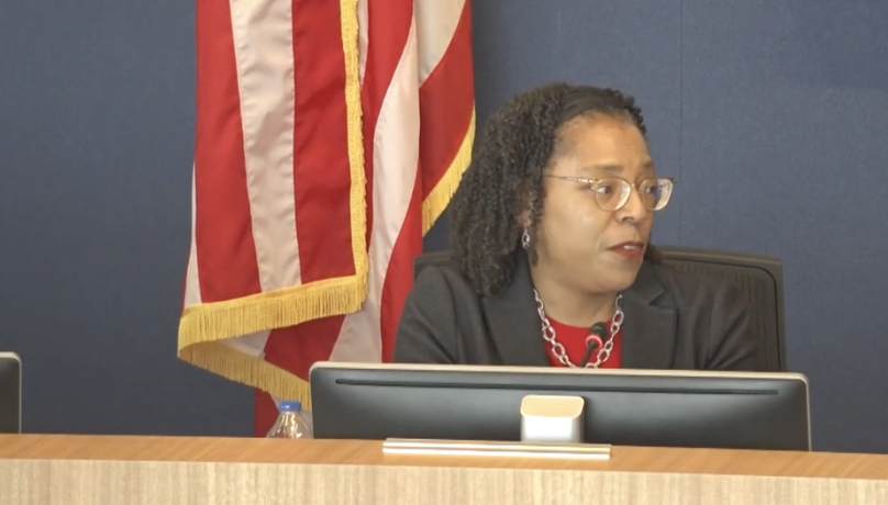
The Montgomery County Planning Board and the Montgomery County Planning Department have announced their February 2023 calendar of events and meetings. Residents can participate in Planning Board meetings by testifying in-person, testifying virtually, over the phone, and by watching the meetings on the Planning Board’s live stream. Community members may also testify by sending in written comments to the Planning Board. Information about submitting written testimony and testifying in front of the Planning Board can be found below. Contact us for accessibility accommodations.
For more details, review the list of events below and visit www.montgomeryplanning.org. These events are subject to change. To sign up to testify for Planning Board meetings, please go to the sign up to testify page and view individual agendas. Agendas are usually made public 10 days prior to the start of a meeting. Consult the Development Review Committee (DRC) and Historic Preservation Commission (HPC) websites for their agenda information.