
The DC region is watching two separate snow chances over the next several days, beginning with a weak system on Friday and followed by a more organized threat Saturday night into Sunday. While confidence remains low for exact totals, meteorologists agree that the second storm has the better potential to bring accumulating snow to parts of Maryland, including Montgomery County.
The first system arriving Friday is weakening as it approaches the Mid-Atlantic. At this point, forecasters expect scattered flurries or light snow showers with the possibility of a spotty coating in a few locations. There is no indication that this system will impact school operations on Friday. However, if enough snow falls during the afternoon, the commute could experience minor disruptions, especially on untreated surfaces.
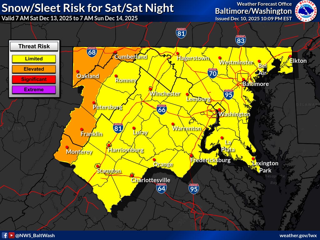
The more significant winter weather threat arrives late Saturday and continues through Sunday morning. This system has caught the attention of multiple forecast outlets due to improving signals for accumulation. The National Weather Service noted in its latest Forecast Discussion that model guidance points to higher totals along the I-95 corridor, where atmospheric dynamics will be strongest.
FOX5 meteorologist Mike Thomas echoed the growing confidence, calling Saturday night into Sunday the region’s better shot at accumulating snow. He highlighted several variables working in favor of snowfall:
What he likes: There is a surge of cold air arriving behind the storm. Even without a classic setup or a strong high pressure positioned to the north, temperatures will be cold enough to support snow. The upper-level energy also looks promising. While the upper low is not ideally placed, it is still strong enough to generate moderate snow bands if the storm deepens as expected. Thomas noted that most models should not back away from intensification if this scenario is going to hold.
What gives him pause: The orientation of the trough is not ideal. Thomas said the current angle is too positive and only briefly reaches neutral near the Mid-Atlantic. For a major snowstorm, the upper low would need to slow down, dive farther south, and shift west of DC, which could help tilt the trough into a negative orientation. He described that as a far more potent setup that could even support a nor’easter, but that is not what guidance shows at this time.
Still, the latest 18z model cycle was encouraging for snow lovers. Nearly all ensemble members from both the European and GFS models showed some form of snowfall, with about 75 percent giving DC at least one inch. The Capital Weather Gang called Saturday night into Sunday the one to watch, noting that signals are improving but confidence remains limited because of several moving pieces in the atmosphere. Meteorologist Justin Berk estimates about a 70 percent chance of at least one inch of snow across the region this weekend.
Regardless of snowfall totals, the cold air arriving behind the weekend system could become a major story of its own. Wind chills Sunday night may drop into the single digits across the region. If this occurs, icy patches and bitter cold could pose problems for the Monday morning commute. We will continue to monitor both systems and provide updates as new guidance arrives.
