Maryland and the DC area could see two chances for snow over the next several days, although the strength of each system remains uncertain as models continue to shift. These systems bring a chance of snow on Friday (very light) and another overnight Saturday into Sunday (more snow possible).
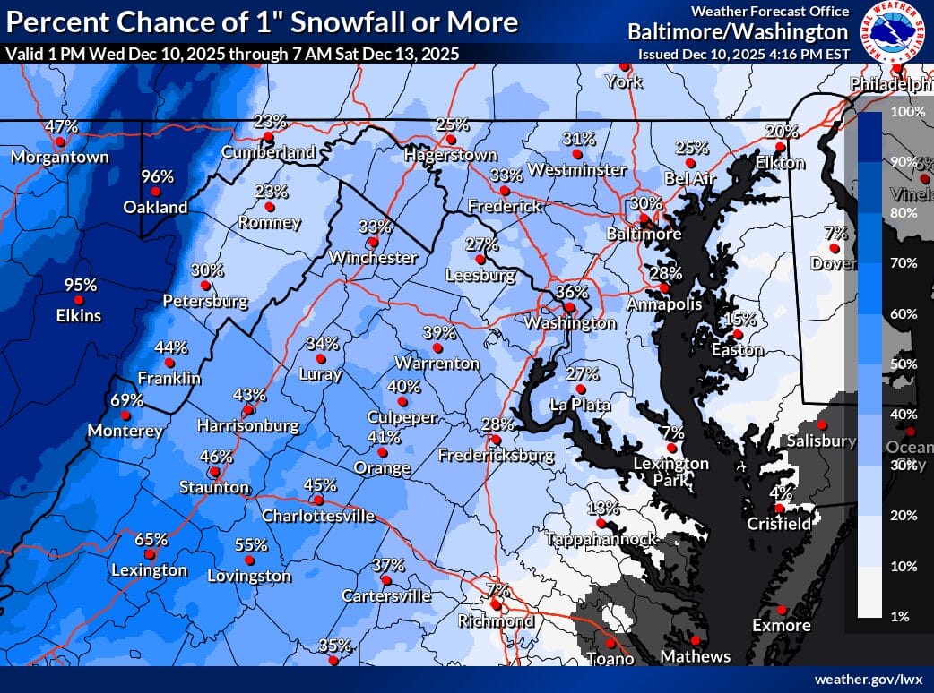
The first chance arrives Friday, but current data points to a relatively weak storm that may only bring a dusting across much of the region. According to the latest National Weather Service probability maps, there is roughly a 30 to 36 percent chance of at least one inch of snow on Friday, depending on location.
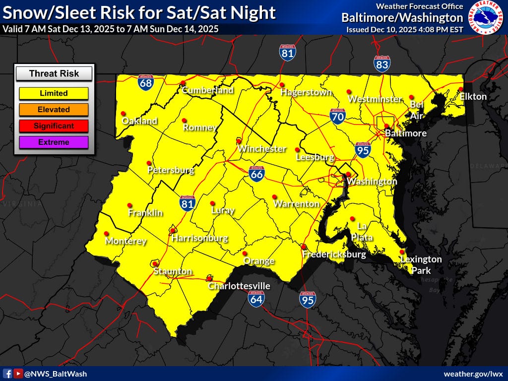
Attention then turns to Saturday night into Sunday morning, when the potential for a more meaningful snowfall has been growing with each model cycle. The GFS, which had previously backed off the idea of measurable accumulation, has now shown three consecutive runs with an accumulating snow scenario across Maryland. The Euro model, which initially suggested only a light system, has also trended stronger and “juicier,” indicating that a few inches of snow are increasingly possible if the current setup holds.
Forecasters note that this is not shaping up to be a major winter storm, but recent model runs support the possibility of a moderate event capable of producing several inches in parts of the state. With Sunday’s potential storm still days away, additional shifts are expected, and confidence will improve as the system approaches. For now, both Friday’s light snow chance and Sunday morning’s developing signal are worth watching, especially given the growing model agreement heading into the weekend.