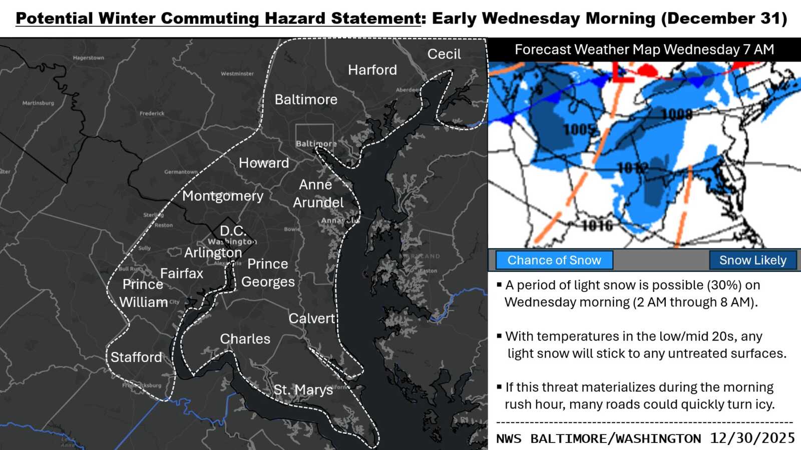
A Hazardous Weather Outlook issued by the National Weather Service is calling for the possibility of light snow overnight into early Wednesday morning across central Maryland (including central and southeastern Montgomery County), northern Virginia, and the District of Columbia, including the I-95 corridor, the Tidal Potomac River, and the Maryland portion of the Chesapeake Bay.
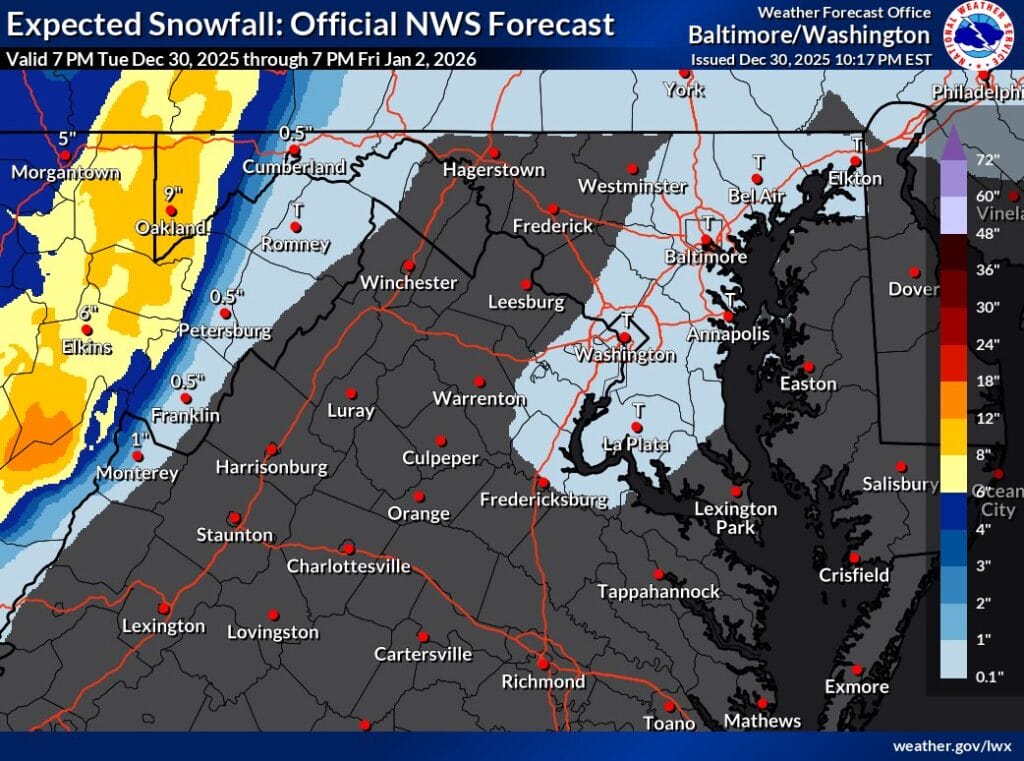
FOX5 meteorologist Mike Thomas shared on Tuesday night that the latest high-resolution forecast models, including the GRAF and HRRR, continue to show the chance for very localized snow showers, mainly between about 3am and 5am. While most of the region is not expected to see any snow, models suggest that a coating to a “sneak” half inch could be possible in isolated spots.
Temperatures are expected to remain cold, dropping into the 20s overnight, meaning any snowflakes that do fall could stick to roadways and other surfaces. Because expected amounts are light, no winter weather advisories have been issued. However, the National Weather Service has issued a Special Weather Statement for areas with the best chance of seeing snow, warning of potential slick spots during the early morning hours.
According to the National Weather Service, a period of light snow is possible late tonight into early Wednesday morning, and a Commuting Hazard Statement has been issued for the Wednesday morning commute. The outlook notes that the potential for light snow extends into the early hours of Wednesday, with the same commuting concerns remaining in place.
Drivers are encouraged to use caution during the early morning hours, especially on untreated roads, bridges, and overpasses, as even a small amount of snow could create isolated slick conditions.