A Silver Spring man has been sentenced to prison for his role in a large-scale money laundering scheme tied to nearly $3 million in fraud.

A Silver Spring man has been sentenced to prison for his role in a large-scale money laundering scheme tied to nearly $3 million in fraud.

A Bethesda restaurant is earning regional recognition, as Aventino Cucina has been named a semifinalist for the RAMMY Awards’ “Upscale Casual Restaurant of the Year.”
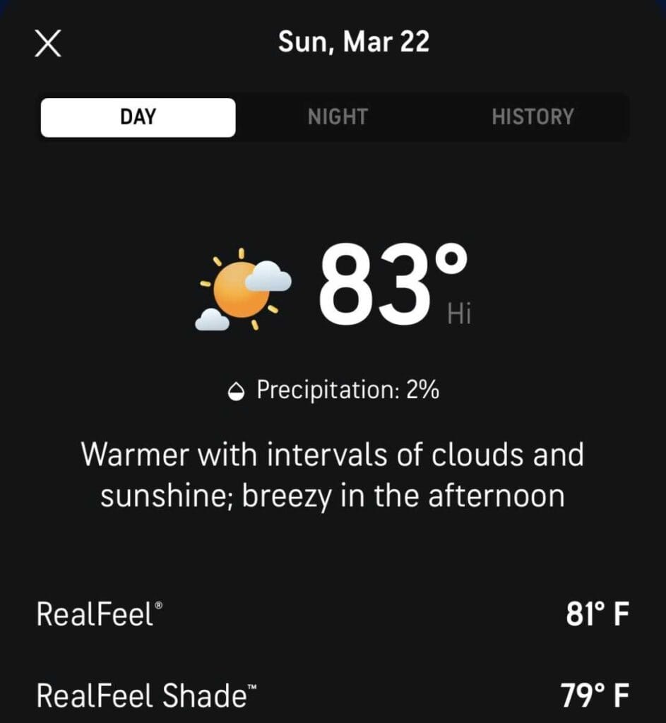
Temperatures are set to surge into the 80s on Sunday, but the warmup will be short-lived as a much cooler pattern settles in for the first full week of spring.
A Maryland Lottery player has won the first Multi-Match jackpot of 2026, with a $1.7 million ticket sold in St. Mary’s County for the March 19 drawing.

The Maryland Energy Administration announced its support for a proposal by PJM Interconnection to extend its existing capacity market price cap and floor through the 2029/2030 delivery year.

The Big Greek Cafe is continuing its expansion beyond Montgomery County, with a new location set to open in Carroll County. The popular local establishment will officially open its newest restaurant on Monday, March 23, at 6400 Ridge Road, Suite 3, in the Eldersburg/Sykesville area.
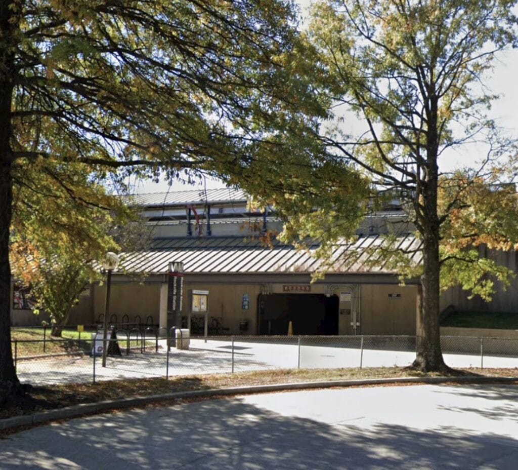
The City of Rockville has announced that the Rockville Metro station area has officially been designated by the state of Maryland as a transit-oriented development, a move expected to support long-term growth, economic development, and expanded housing opportunities. The designation follows a unanimous vote by the Mayor and Council in December to support the initiative.
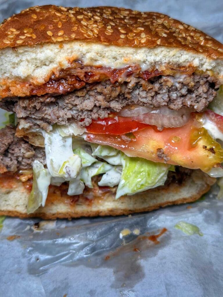
Many in Montgomery County are already well aware of the burgers coming out of Sunshine General Store in Brookeville. Now, that local favorite is getting statewide recognition. This past summer, Tasting Table named the Sunshine Burger the “Absolute Best Burger” in Maryland, putting a spotlight on the longtime staple along Georgia Avenue (video of the burger below).
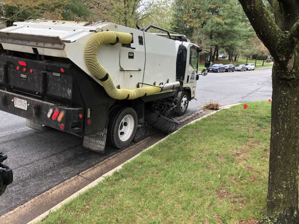
The Montgomery County Department of Transportation (MCDOT) will begin its annual street sweeping program in the first week of April, with work continuing through July across approximately 4,100 lane miles of residential roads.
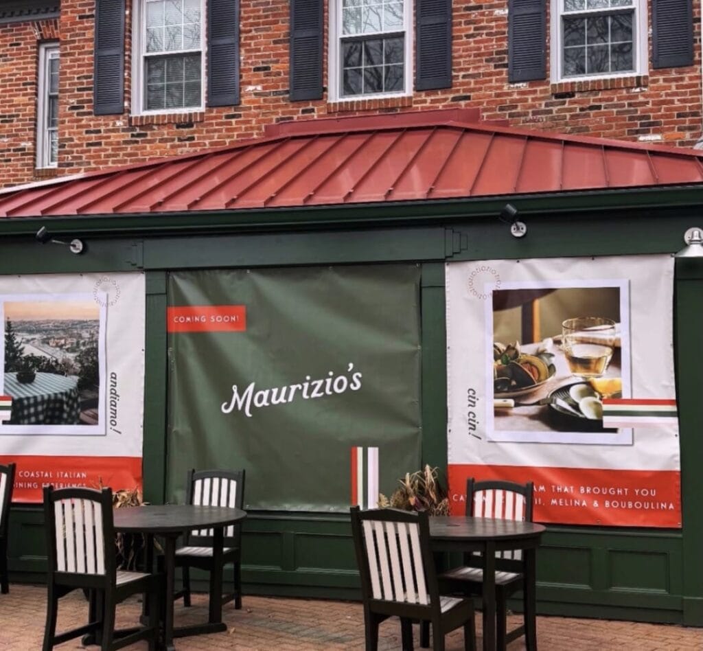
A new Italian restaurant coming to Potomac is already generating buzz ahead of its opening, earning a spot on Eater DC’s list of “The Most Exciting D.C. Restaurant Openings to Look Forward to This Spring.”

The Maryland Judiciary is warning residents about a new text message scam involving fake court notices tied to alleged parking and toll violations in Baltimore City.