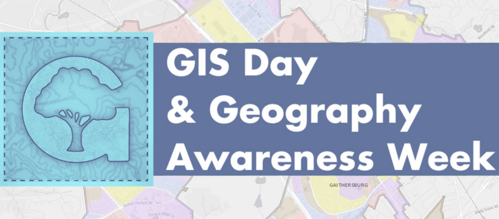
The City of Gaithersburg celebrates GIS Day and Geography Awareness Week in November with discussions and activities designed to promote geography knowledge and showcase Geographic Information Systems (GIS) and how they impact everyday life. With more than 700 layers of information in its database, the City’s GIS serves as an important tool for analysis and strategic decision making. The GIS database helps inform staff and elected officials about such things as the availability of affordable housing, impervious surface coverage, most effective snow plow routes, access to social services, and much more.
With a proclamation at their meeting on November 7, the Mayor & City Council officially proclaimed November 16 as GIS Day & November 14 to 18 as Geography Awareness Week in the City. At the meeting, staff presented on the City’s field mapping capabilities and its companion dashboards. View the meeting presentation here. GIS activities include: