Snow totals across the DC region are trending higher Saturday night, with updated forecasts from NBC4 Chief Meteorologist Doug Kammerer and the National Weather Service showing increased confidence in measurable accumulation for much of Montgomery County and the surrounding area.
Both sets of maps point to a narrow but impactful band of snow developing late Saturday night and continuing into early Sunday morning. While widespread totals of 1 to 3 inches remain the most likely outcome for central Maryland and the District, newer guidance shows pockets where higher amounts are possible if the heavier band sets up overhead.
NBC4’s latest forecast places much of Montgomery County, Prince George’s County, and the District in the 1 to 3 inch range, with higher totals north and west of the metro. The eastern half of Montgomery County continues to show slightly higher potential than the western side, consistent with earlier forecasts.
The National Weather Service echoed that outlook Saturday evening, keeping a Winter Weather Advisory in effect from midnight through 10 a.m. Sunday for DC, central and southern Maryland, and parts of Northern Virginia. The advisory calls for 1 to 3 inches of snow, with slippery road conditions expected during the overnight hours and into the Sunday morning commute window.
According to the NWS, precipitation may briefly begin as rain in some locations before quickly changing to snow as colder air moves in. Forecasters continue to highlight the possibility of a narrow band of heavier snow developing late tonight, which could lead to faster accumulation rates and reduced visibility, potentially dropping below one-half mile at times.
Probability maps from the NWS show a 10 percent chance of higher-end totals, with some localized areas capable of reaching the 4 to 5 inch range if the heavier band lingers. On the lower end, there is still a scenario where totals stay closer to an inch, especially farther west, underscoring how sensitive accumulations will be to the exact placement of the snow band.
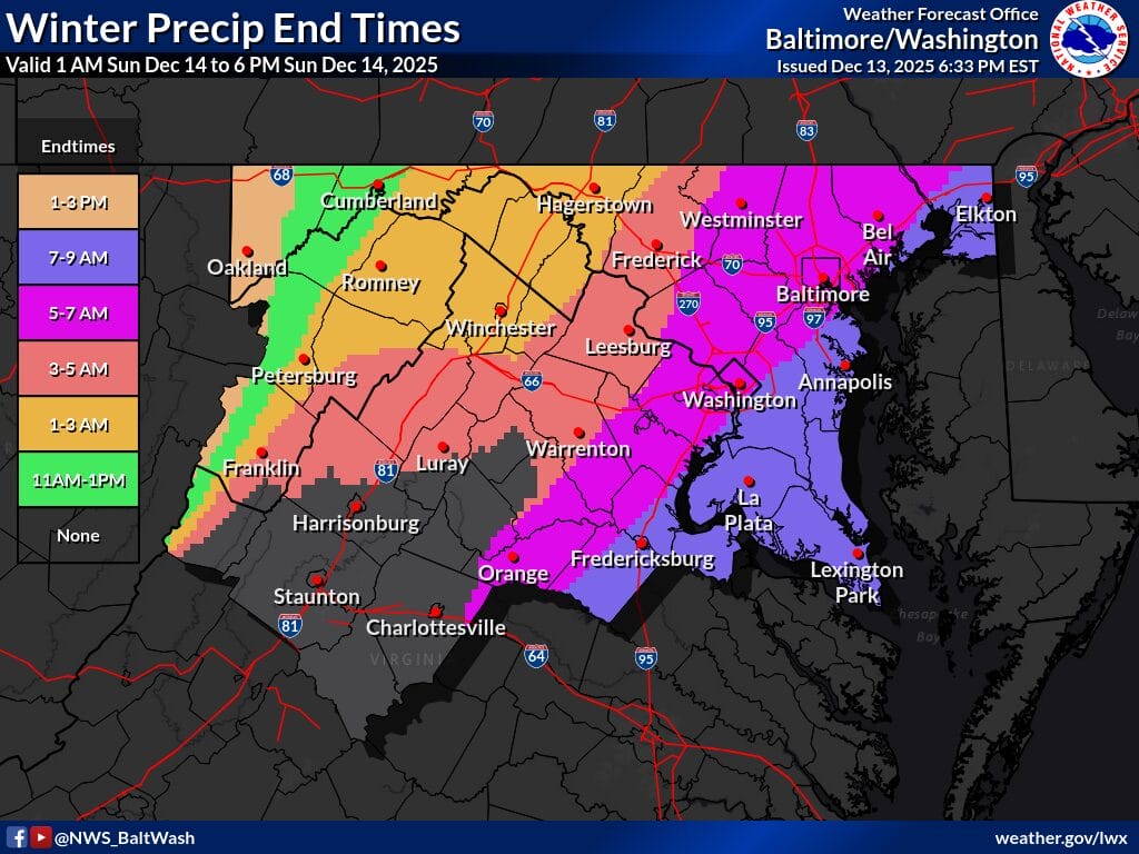
Snow is expected to taper off between roughly 5 a.m. and 9 a.m. Sunday across much of the region, though lingering impacts are possible where higher totals materialize. With temperatures dropping sharply behind the system, any untreated roads or sidewalks could remain slick even after the snow ends.