Washington Spirit Head Coach Adrián González has been named the NWSL Coach of the Month for April, the league announced today. In his first full season as Head Coach of the Spirit, González has won the honor for the first time in his career.


Washington Spirit Head Coach Adrián González has been named the NWSL Coach of the Month for April, the league announced today. In his first full season as Head Coach of the Spirit, González has won the honor for the first time in his career.

Eater DC released its latest list of the “Best Steakhouses Around D.C.,” with a focus on original and smaller-scale steakhouses that have been open for roughly six months or more. While there are plenty of places to grab a steak in Maryland, only two Maryland restaurants made the list, and both are in Montgomery County.

FOX 5 is set to kick off its annual Zip Trip season in Montgomery County, with the first stop scheduled for May 22 in Gaithersburg.
Washington Business Journal reports that Duke’s Grocery is expanding with a new concept, “Duke’s Burgers,” set to open at 1621 Crystal Drive in Arlington. The upcoming spot will operate as a compact, 300SF kiosk inside JBG Smith’s open-air Water Park food hall, with a target opening in late spring/early summer.

The WMATA Board of Directors adopted a $4.8 billion operating and capital budget for Fiscal Year 2027 on Wednesday, with planned service improvements and no increase to Metro Bus or Rail fares.

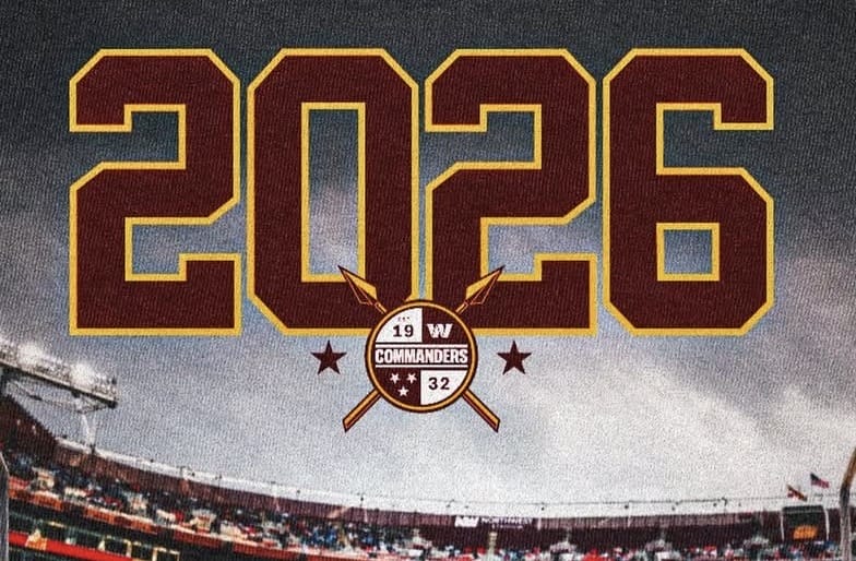
The Washington Commanders have added a strong leg to their roster, signing former Iowa kicker Drew Stevens as an undrafted free agent following the 2026 NFL Draft. He will compete with the returning Jake Moody for a chance to be the team’s kicker.

The Washington Commanders announced the passing of franchise legend Monte Coleman, who died at the age of 69.
The Washington Commanders are coming off a disappointing season in which their defense ranked among the worst in the NFL. They finished last in total defense, allowing 384 yards per game, while also landing in the bottom five against the pass at 242.5 yards per game and the bottom three against the run at 141.8 yards per game. The unit also struggled to keep teams off the scoreboard, finishing in the bottom six in points allowed at 26.5 per game.

Opening day for Molly Tea in Rockville quickly turned into a full-on scene, with a line stretching around the block as customers packed into 860 Festival Street for the brand’s DMV debut. A video of the experience can be seen below.

The Washington Regional Alcohol Program announced it will offer free rides through its SoberRide® program on Cinco de Mayo, operating from 4:00pm on Tuesday, May 5, until 4:00am on Wednesday, May 6.

A new international tea concept is making its debut in Montgomery County, with the DMV’s first Molly Tea set to open in Rockville this week. A first-look video of the Molly Tea experience can be seen below.