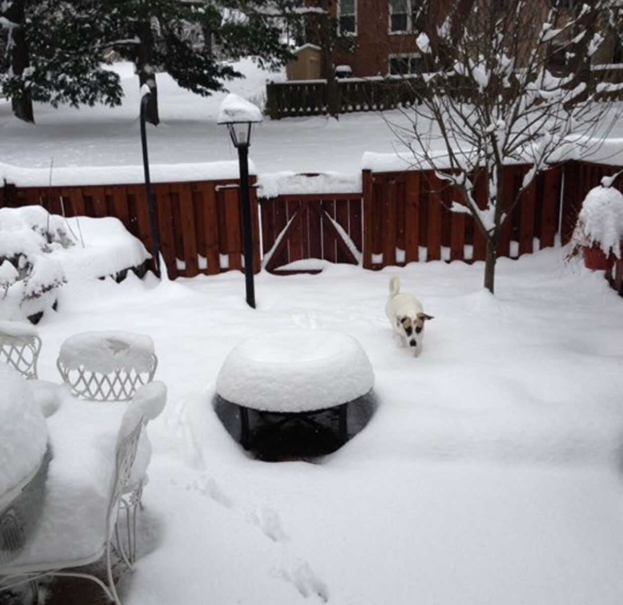
With above average snowfall predicted for the region, we wanted to share with you the criteria for different winter weather alerts in the DC Metro Area, courtesy of the National Weather Service:
A Winter Storm Watch is issued when there is the potential for significant and hazardous winter weather within 48 hours. It does not mean that significant and hazardous winter weather will occur…it only means it is possible. Significant and hazardous winter weather is defined as a combination of:
1) 5 inches or more of snow/sleet within a 12-hour period or 7 inches or more of snow/sleet within a 24-hour period
AND/OR
2) Enough ice accumulation to cause damage to trees or powerlines.
AND/OR
3) a life threatening or damaging combination of snow and/or ice accumulation with wind.
The snow/sleet criteria for a Winter Storm Watch for the five westernmost counties (Allegany, Mineral, Grant, Pendleton, and Highland) is higher (6 inches or more within a 12-hour period; 8 inches or more within a 24-hour period).
A Winter Storm Warning is issued when a significant combination of hazardous winter weather is occurring or imminent.
Significant and hazardous winter weather is defined as a combination of:
1) 5 inches or more of snow/sleet within a 12-hour period or 7 inches or more of snow/sleet within a 24-hour period
AND/OR
2) Enough ice accumulation to cause damage to trees or powerlines.
AND/OR
3) a life threatening or damaging combination of snow and/or ice accumulation with wind.
The snow/sleet criteria for a Winter Storm Warning for the five westernmost counties (Allegany, Mineral, Grant, Pendleton, and Highland) is higher (6 inches or more within a 12-hour period; 8 inches or more within a 24-hour period).
Ice Storm Warning is ¼ inch or more of ice accumulation.
A Winter Weather Advisory will be issued for any amount of freezing rain, or when 2 to 4 inches of snow (alone or in combination with sleet and freezing rain), is expected to cause a significant inconvenience, but not serious enough to warrant a warning.
If the event is expected to impact the Baltimore/Washington metro areas during rush hours (4-9 am or 2-7 pm on weekdays) forecasted snow totals of one inch will necessitate the issuance of a winter weather advisory. The snow/sleet criteria for a Winter Weather Advisory for the five westernmost counties (Allegany, Mineral, Grant, Pendleton, and Highland) is higher (3-5 inches).
A Freeze Watch is issued when there is a potential for significant, widespread freezing temperatures within the next 24-36 hours.
A Freeze Watch is issued in the autumn until the end of the growing season (marked by the occurrence of first widespread freeze). The normal end of the growing season is mid to late October west of the Blue Ridge and early November east of the Blue Ridge. However, during anomalously warm autumns, the growing season may be extended past the normal end of the growing season.
A Freeze Watch is issued in the spring at the start of the growing season (when it is late enough to cause damage to new plants and crops).
A Freeze Warning is issued when significant, widespread freezing temperatures are expected. A Freeze Warning is issued in the autumn until the end of the growing season (marked by the occurrence of first widespread freeze). The normal end of the growing season is mid to late October west of the Blue Ridge and early November east of the Blue Ridge. However, during anomalously warm autumns, the growing season may be extended past the normal end of the growing season.
A Freeze Warning is issued in the spring at the start of the growing season (when it is late enough to cause damage to new plants and crops).
A Frost Advisory is issued when the minimum temperature is forecast to be 33 to 36 degrees on clear and calm nights during the growing season. A Frost Advisory is issued in the autumn until the end of the growing season (marked by the occurrence of first widespread freeze). The normal end of the growing season is mid to late October west of the Blue Ridge and early November east of the Blue Ridge. However, during anomalously warm autumns, the growing season may be extended past the normal end of the growing season.
A Frost Advisory is issued in the spring at the start of the growing season (when it is late enough to cause damage to new plants and crops).
A Wind Chill Advisory is issued when wind chills of -5F to -19F are expected east of the Blue Ridge Mountains, and when wind chills of -10 to -24F are expected along and west of the Blue Ridge Mountains and in Frederick and Carroll Counties in Maryland.
A Wind Chill Warning is issued when wind chills of -20F or lower are expected east of the Blue Ridge Mountains, and when wind chills of -25F or lower are expected along and west of the Blue Ridge Mountains and in Frederick and Carroll Counties in Maryland.
Recent Stories
FEST OF SPRING Caribbean Wine Food & Music Festival
Get ready to experience the vibrant colors, tantalizing flavors, and infectious rhythms of the Caribbean at the FEST OF SPRING Caribbean Wine Food & Music Festival! Hosted by RHU LLC, this exciting festival is set to take place on May 18, 2024, at the picturesque 16700 Barnesville Rd in Boyds, MD.
Step into a world where the Caribbean spirit comes alive! From 12:00 PM onwards, immerse yourself in a sensory journey that celebrates the unique culture, cuisine, and music of the Caribbean. Whether you’re an African American, a Reggae or Soca music enthusiast, a wine lover, or part of the vibrant Caribbean diaspora, this festival promises to delight and captivate you in every way.


