The National Weather Service (NWS) has issued its final forecast ahead of the incoming winter storm, and projected snowfall totals remain largely unchanged across the DC metro region.
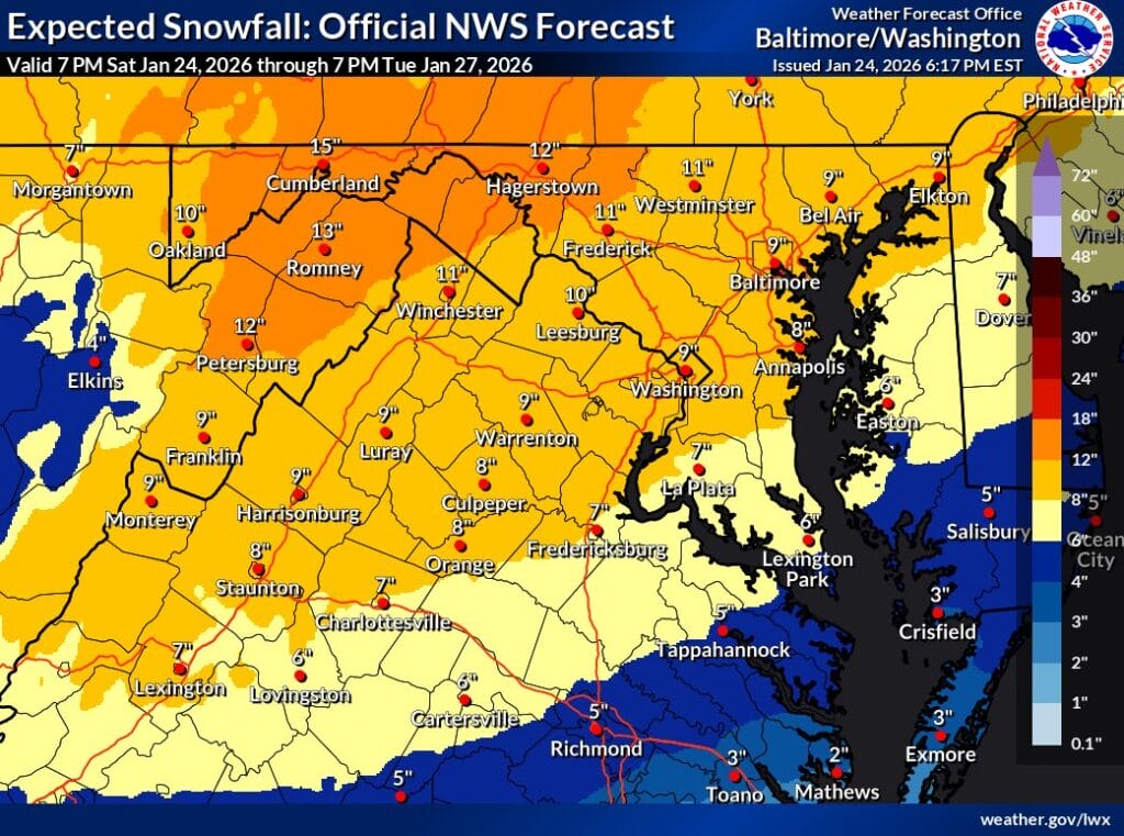


The National Weather Service (NWS) has issued its final forecast ahead of the incoming winter storm, and projected snowfall totals remain largely unchanged across the DC metro region.
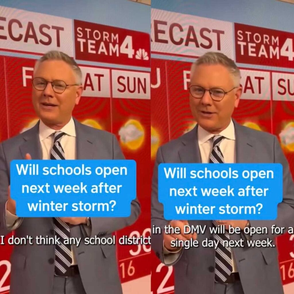
NBC4 meteorologist Chuck Bell is raising expectations for a prolonged shutdown across the region as a major winter storm bears down on the DC area, saying he does not believe a single school district in the DMV will be open for even one day next week. The post has been shared over 35,000 times in 20 hours.
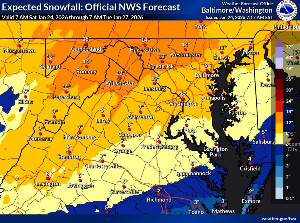
The National Weather Service has issued a Winter Storm Warning from 11pm Saturday through 4am Monday. Forecasters say a combination of heavy snow, sleet, freezing rain, and bitter cold will create dangerous conditions that could linger well into next week.
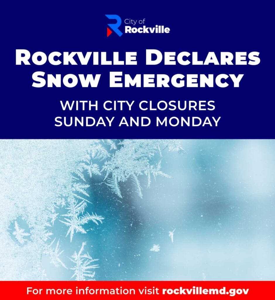
The City of Rockville has declared a snow emergency ahead of a forecasted winter storm, with Rockville City Hall and all city facilities closed on Sunday, January 25, and Monday, January 26.

Gaithersburg officials have declared a snow emergency for the City of Gaithersburg, effective from noon on Saturday, January 24, 2026, through 7 am on Tuesday, January 27, 2026.
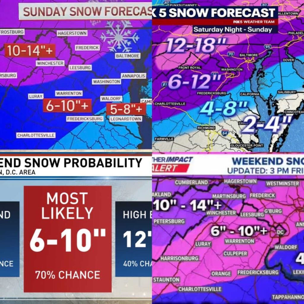
The National Weather Service has issued a Winter Storm Warning for Washington, DC, most of Maryland, and much of Virginia from 11pm Saturday through 4am Monday, calling for a widespread 7 to 14 inches of snow across the warning area. The image above shows the latest maps from the four major local television networks.
Governor Wes Moore today declared a State of Emergency due to the major winter storm and dangerously cold temperatures expected to impact Maryland beginning Saturday. Governor Moore also requested an Emergency Declaration from the federal government, which enables the federal government’s ability to expedite assistance to the State during and after the storm if necessary.
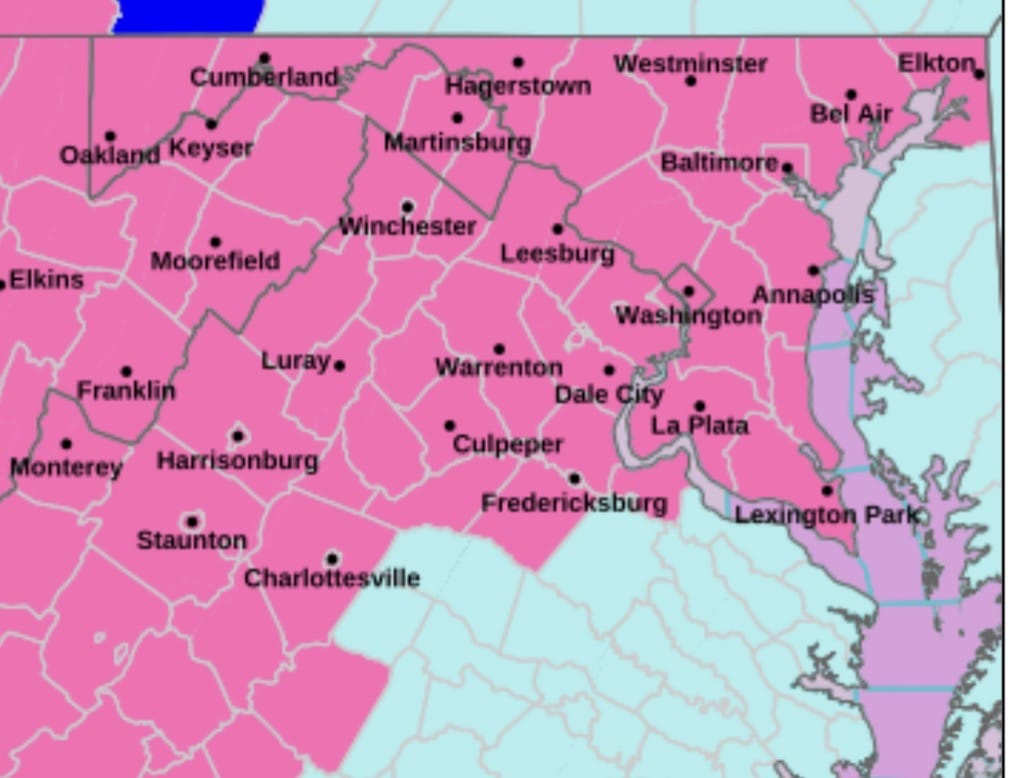
A Winter Storm Warning has been issued for the District of Columbia and much of central and northern Maryland and northern Virginia as a powerful winter storm is expected to impact the region from late Saturday night through early Monday morning.

With a winter storm watch in effect and an upgrade to a warning likely within the next 24 hours, FOX45 meteorologist Gerard Jebaily found a creative way to deliver a serious forecast by speaking directly to a younger audience.
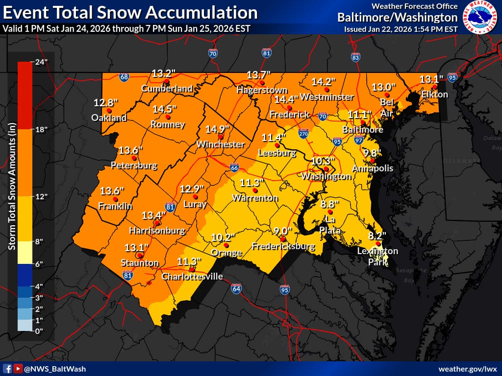
The National Weather Service has released its first call map for total snowfall from a potentially major winter storm expected to impact the region this weekend, showing widespread totals in the 10 to 14 inch range across much of the area.

FOX5 meteorologist Mike Thomas has released his early first call thoughts on a potentially significant winter storm expected to impact the region this weekend, signaling confidence is growing in a high impact snow event for parts of the Mid Atlantic. The map shows 8-14 inches for a big portion of Maryland and Northern Virginia, including all of Montgomery County and immediately surrounding areas.