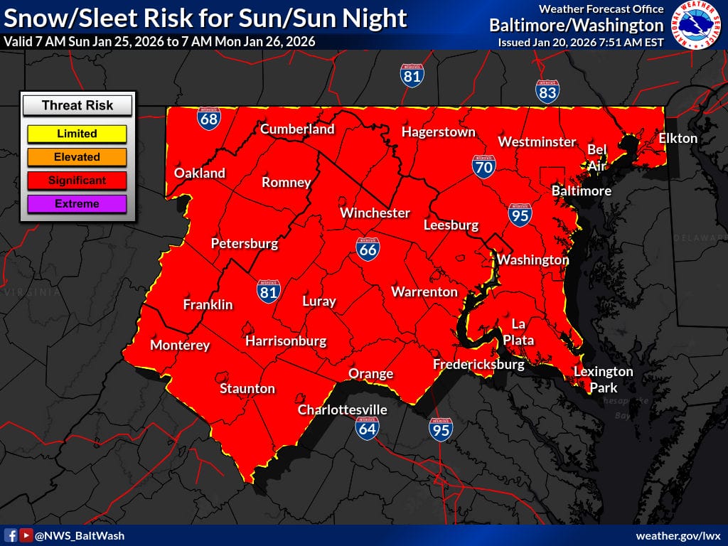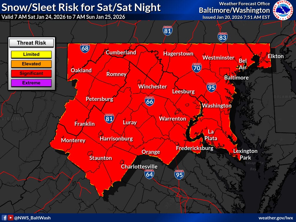
The National Weather Service (NWS) has elevated the upcoming winter storm to a “Significant Threat Risk,” signaling growing confidence that the entire region (including all of Maryland and Virginia) could see a high-impact winter event combined with dangerously cold temperatures.
The NWS forecaster’s discussion say la a strong cold front will move through late Thursday into Friday, followed closely by a reinforcing Arctic front Friday night into Saturday. Each wave of cold air will drop temperatures further, setting the stage for near-record cold by the weekend. By Saturday night into early next week, overnight lows could fall into the single digits, with wind chills at or below zero, making it feel even colder. In simple terms, very cold air will already be locked in place before the storm even arrives. That matters because when moisture moves in, cold air like this greatly increases the chance that precipitation falls as snow rather than rain, and that snow sticks.
The National Weather Service notes that this type of setup has been largely absent so far this winter, making it stand out. The presence of blocking high pressure to the north also raises concern that the storm may not move quickly out to sea, increasing the potential for heavier and longer-lasting snowfall.
As of Tuesday morning, the NWS forecast guidance shows a 40 to 70 percent chance of at least six inches of snow across much of the region, with a 20 to 45 percent chance of a foot of snow. There are even signals for higher totals in some scenarios, though forecasters caution that the exact storm track remains uncertain. A small shift north or south could make a big difference in where the heaviest snow falls.
Timing-wise, the storm is increasingly expected to begin Saturday, most likely during the afternoon, with the heaviest snow falling Saturday night through Sunday afternoon. Some forecast models suggest snow could linger into Monday if the storm slows down and shifts north along the coast.
The National Weather Service says accumulating snow this weekend is becoming almost certain, and the risk of a warning-level event is increasing for much of the area. The main question now is whether this ends up being a solid but manageable snowfall or a much more disruptive, high-impact storm. The NWS forecasters stress the importance of closely monitoring updates throughout the week, as new data will help refine the storm’s track, timing, and potential snowfall totals.