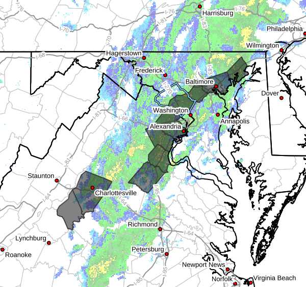
Montgomery County Public Schools will dismiss students early on Monday, March 16, as forecasters warn of a potentially dangerous severe weather event expected to move through the region during the afternoon hours.
The National Weather Service and Storm Prediction Center have warned that severe thunderstorms capable of producing widespread damaging winds and tornadoes are expected across parts of the Mid-Atlantic on Monday.
Forecasters are warning that a potentially significant severe weather event could impact the parts of Maryland and Virginia (including all of Montgomery County) Monday afternoon, raising questions about whether some school systems may adjust schedules or cancel after-school activities.
The National Weather Service (NWS) is urging residents across the D.C. region to take Monday’s severe weather threat seriously after the Storm Prediction Center upgraded the area to a Moderate Risk, which is level 4 out of 5.
The National Weather Service is warning that severe weather is likely to impact the region Monday, March 16, as a strong cold front moves through the area.
An Extreme Cold Alert has been issued for Montgomery County from Thursday, March 12 at 8pm through Friday, March 13 at 9am, as wind chill values are expected to fall below 32 degrees. Officials are urging residents to dress in layers, limit time outdoors when possible, and take precautions if they must spend extended periods outside. (more…)
A wild stretch of weather has begun across the region as severe storms entered the area followed by a brief chance of snow Thursday. NBC4 meteorologist Doug Kammerer noted Wednesday afternoon that the region is seeing a classic seasonal transition pattern.
The National Weather Service has extended Tornado Watch 45 to include much of the central Maryland region, including Montgomery County, until 8pm Wednesday.
The National Weather Service has issued a Tornado Watch for parts of western Maryland as severe storms move through the region Wednesday afternoon and evening. A Hazardous Weather Outlook has been issued for other parts of the state, including Montgomery County.
Unseasonably warm temperatures are expected across the region today, but the warm conditions could also bring the potential for severe thunderstorms later this afternoon and evening.
After a slower warm-up than initially expected, much warmer weather is finally on the way this week, with temperatures potentially climbing into the low 80s by midweek.